
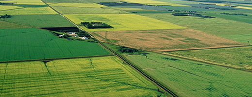
Agricultural production tools and data
Information on weather and climate relevant to the agricultural sector, drought, interactive maps, geospatial data, soil and land resource information, crop protection, water quality and supply related to farming, Drought Watch.
Services and information
Weather and drought
Weather conditions, Canadian drought monitor, interactive maps, extreme weather, agroclimate risk report
Crop protection
Disease and pest management, crop profiles and protection, adapting for drought, agroforestry pests, Cereal Aphid mobile app
Soil and land related to agriculture
Soil heath and fertility, satellite monitoring, soil data, CanSIS, land inventory, on-farm biodiversity
Geospatial products
Interactive agriculture-related maps, geospatial data, crop yields, ecosystem monitoring
Holos software program
Estimate and test possible ways to reduce greenhouse gas emissions from your farm
Water
Farm water management, well construction, conservation in drought
IDEA-QC: assessment tool for farm sustainability
Understand and use the IDEA-QC framework (farm sustainability indicators – Quebec) to guide farmers toward using more sustainable practices.